Gigantic military exercise, Sardinian sea closed from Teulada to Ogliastra: the maps
Training of 9500 men and women from 22 nations: ban orders also in the Gulf of Cagliari, as well as in front of Costa Rei and Tuerredda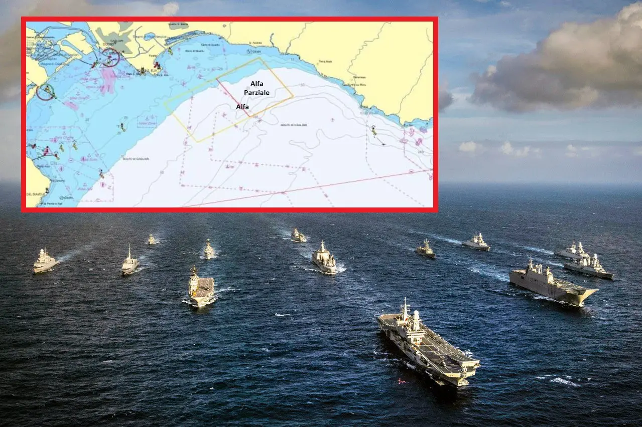
Per restare aggiornato entra nel nostro canale Whatsapp
The exercise is called Mare Aperto. But only for the military ships, for the submarines and for the fighters that will fly above them. Because the sea of Sardinia, to the south and south-east and to the east, will be closed: any activity off the coast is prohibited. A flurry of ordinances published on the noticeboards of the various competent authorities impose a long series of restrictions in enormous bodies of water ranging from Teulada to Capo Ferrato, passing through the Gulf of Cagliari.
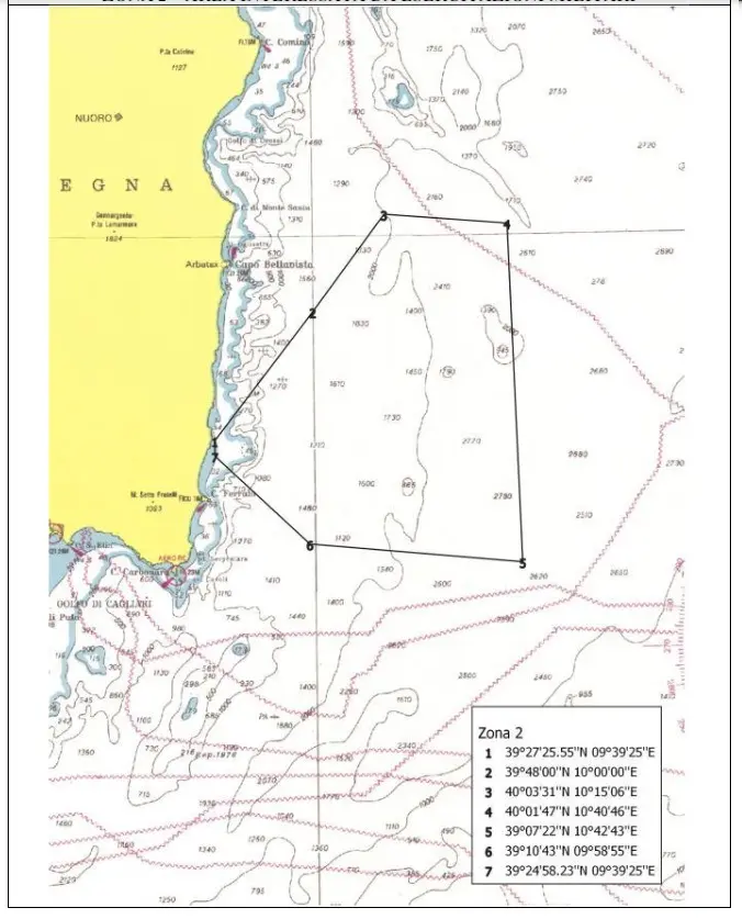
There are not only the "classic" maps that delimit the sea dedicated to the maneuvers of the fleets with the stars. That is, the various Alfa, Bravo and Eco areas in front of the Teulada range and those - enormous - in front of the Quirra range (under the map of one of the latter) and in front of the coast of Sarrabus and Ogliastra. Further to the west, Capo Frasca.
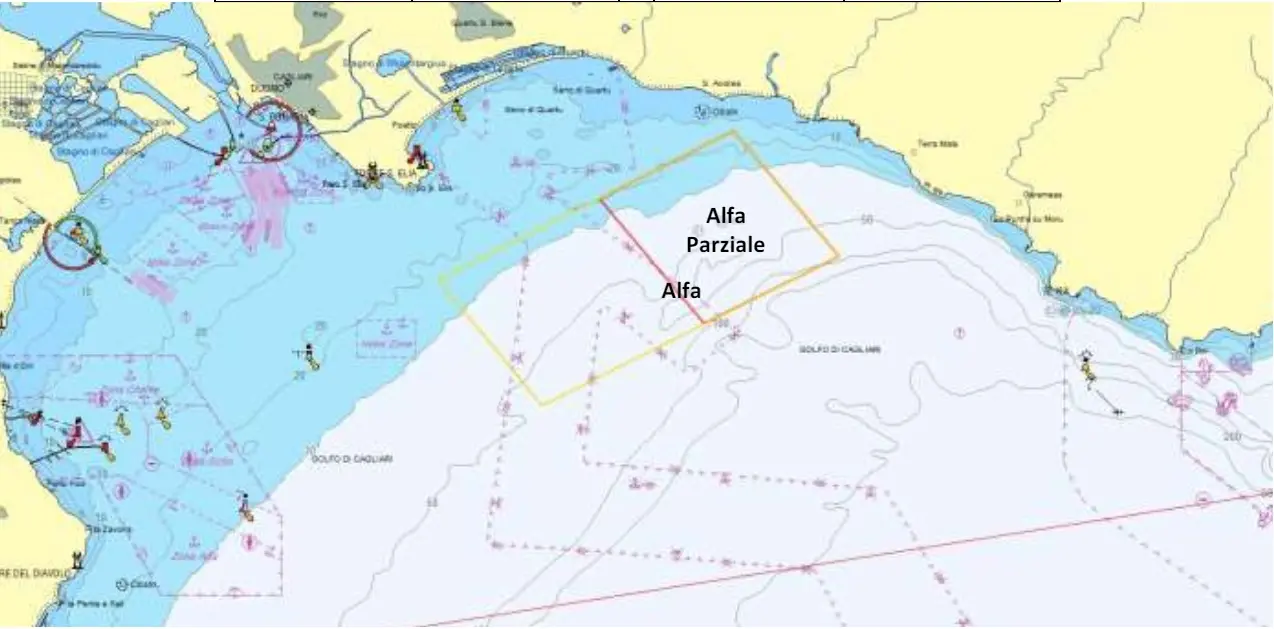
The Cagliari harbor office warns that even in the gulf of Cagliari, more or less in front of Terra Mala, since yesterday, May 3, there is a complete no-go zone called partial Alfa . An area that will extend starting from the 13th becoming Alfa. It will arrive well beyond Cape Sant'Elia, passing in front of Poetto.
Passing boats must stay more than one kilometer from any military units in the stretches of sea called Bravo (in front of the Torre del Diavolo in Sarroch), Delta (which also affects the waters off Tuerredda) and Foxtrot: the interdiction , this time on the east coast, from Cala Pira to Capo Ferrato.

The Open Sea, the Navy explains, «is the most impressive exercise planned and conducted by the Command in Chief of the Naval Squadron of the Navy, which will involve approximately 9,500 soldiers from 22 nations (of which 11 belonging to NATO)». It will last until May 27th.


